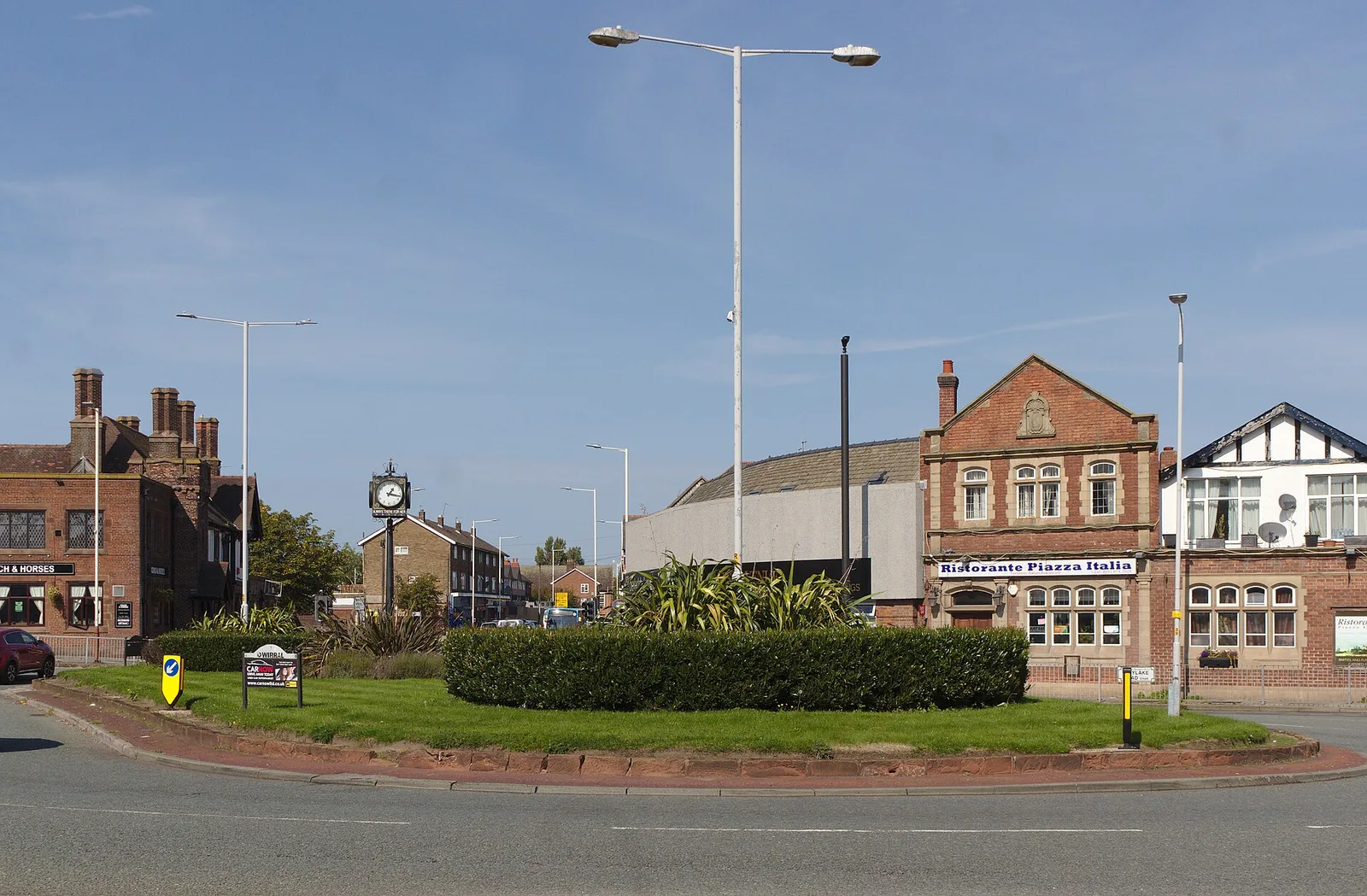
Wirral is the peninsula on the other side of the Mersey, between that river and the Dee. It is a separate metropolitan borough with its own council, and it is one of the six boroughs of the Liverpool City Region.
That distinction matters more than it sounds. Plenty of advice written for Liverpool simply does not apply once you cross the water: different bins, different collection days, different planning rules, different councillors. This page covers where Wirral is, how to get there from Liverpool, which towns do what, and which council you are actually dealing with.

Wirral at a glance
- Council: Wirral Council, based at Wallasey Town Hall in Seacombe.
- Population: 324,852 at the 2023 mid-year estimate, as cited in the council's Local Plan Monitoring Report.
- Main towns: Birkenhead, Wallasey, Bebington, Heswall, West Kirby, Hoylake, Moreton, Bromborough and New Brighton.
- Postcodes: CH41 to CH49 and CH60 to CH63.
- Rail: the Merseyrail Wirral Line, with branches to New Brighton, West Kirby, and Chester or Ellesmere Port.
- Ferries: Mersey Ferries between Liverpool, Seacombe and Woodside.
- Buses: the publicly controlled Metro network since 25 October 2026, with most route numbers starting with 4.
- Bin colours: green is general rubbish, grey is recycling, brown is subscribed garden waste, with a weekly food caddy. This is the opposite of Liverpool's green bin.
Getting to Wirral from Liverpool
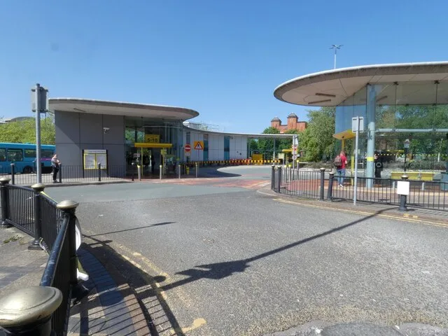
The quickest way is the Merseyrail Wirral Line, which runs under the river from Liverpool Central, James Street, Moorfields and Lime Street. The first stop on the other side is Hamilton Square in Birkenhead, a few minutes from James Street.
After Birkenhead the line splits three ways:
- New Brighton via Birkenhead Park, Birkenhead North, Wallasey Village and Wallasey Grove Road.
- West Kirby via Bidston, Leasowe, Moreton, Meols, Manor Road and Hoylake.
- Chester or Ellesmere Port via Green Lane, Rock Ferry, Bebington, Port Sunlight, Spital, Bromborough Rake, Bromborough, Eastham Rake and Hooton.
At Bidston a separate line runs to Upton, Heswall, Shotton and Wrexham, which is the rail route to the inland and Welsh side of the peninsula. Full branches and live status are on Merseyrail's network map.
Mersey Ferries cross from the Pier Head to Seacombe and Woodside. It is slower than the train and it is the better trip if the crossing is the point rather than the destination.
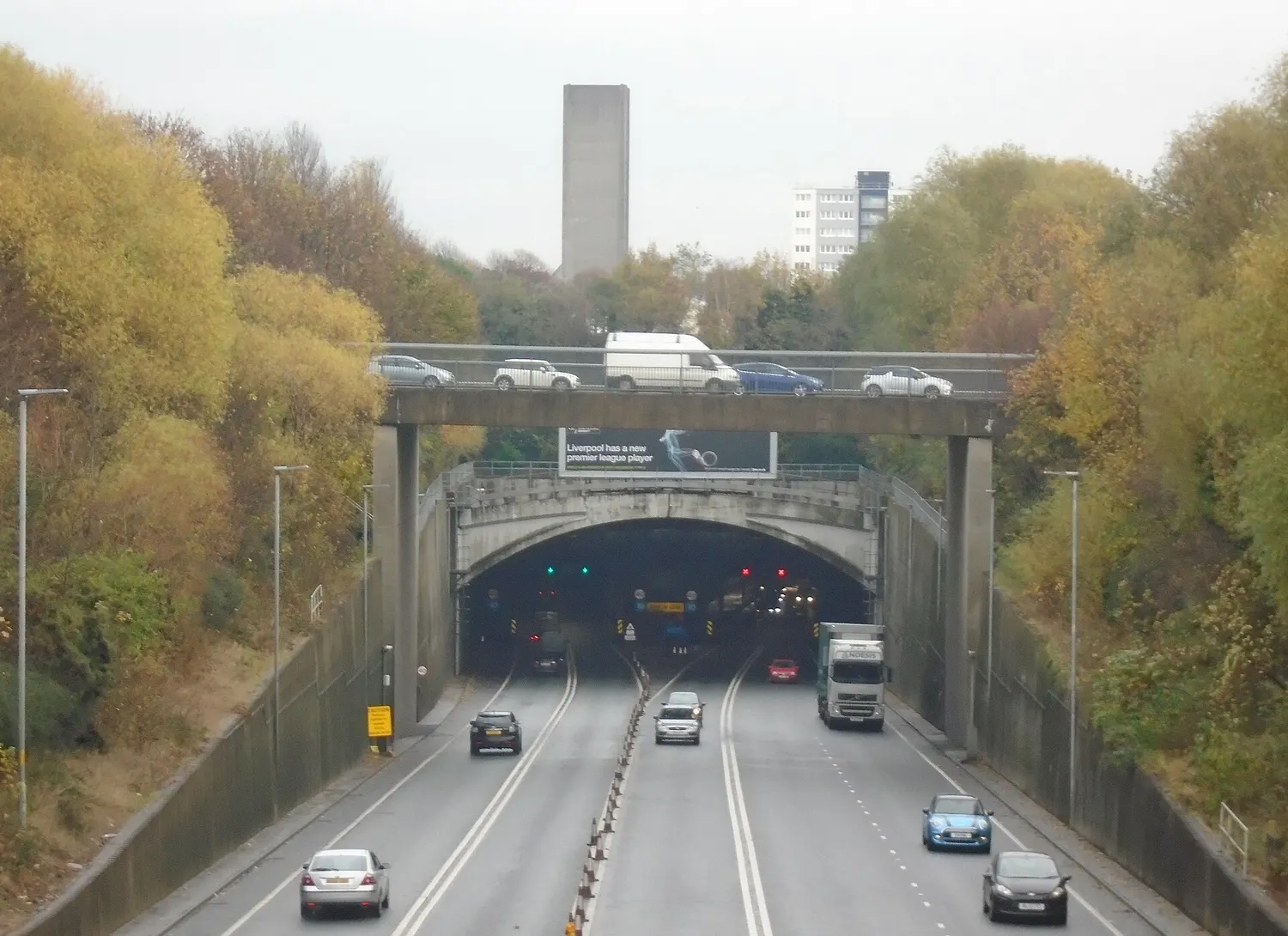
By car there are the two Mersey tunnels, Kingsway from Wallasey and Queensway from Birkenhead, both tolled. For most day trips the train costs less and avoids parking at the other end. L1Local's guide to getting around without a car covers the wider network.
The towns, and what each one is for
Wirral is not a single place. The practical split is between the Mersey side and the Dee side.
Birkenhead and the river side
Birkenhead is the largest town and the one most Liverpool readers arrive in. Birkenhead Park, opened in 1847, was the first publicly funded park in the world and is widely credited as an influence on Central Park in New York. Hamilton Square has one of the largest groups of Grade I listed buildings outside London. The town also has the market, the Williamson Art Gallery and Future Yard, a grassroots music venue on Argyle Street.
Wallasey and Seacombe sit north of it, with Wallasey Town Hall and the Seacombe ferry terminal. New Brighton is the seafront resort at the mouth of the river, with the promenade, the Floral Pavilion theatre, the marine lake and a view straight across to Crosby and the Irish Sea.

South along the river are Rock Ferry, Bebington and Port Sunlight, the model village built by Lever Brothers for its soap workers, now a conservation area with its own museum and art gallery.
The Dee side and the coast

West Kirby sits at the end of the line with a marine lake, a long promenade and the walk out to Hilbre Island at low tide. Hoylake and Meols are next along the coast, with Royal Liverpool Golf Club at Hoylake. Heswall looks across the Dee estuary towards north Wales.
Inland are Upton, Greasby, Woodchurch, Moreton and Prenton, which are mainly residential and depend more on buses than on trains. Woodchurch is one of four locations where the Combined Authority is studying a possible new railway station, with initial findings due in early 2027.
Which council, and why it matters
Wirral Council is the local authority for the whole peninsula, based at Wallasey Town Hall. It sets bin collections, parking, roads, schools, licensing and planning for every address with a CH postcode on this list, and none of those are decided by Liverpool City Council.
The clearest everyday trap is bin colour. In Wirral, green is general rubbish. In Liverpool, green is garden waste. The council is currently consulting on emptying green bins every three weeks instead of every two, with a closing date of 25 November 2026. For the Liverpool side, the colours and rules are in L1Local's Liverpool bin collections guide.
Wirral is also one of the six boroughs of the Liverpool City Region, so some decisions are made regionally rather than locally. Transport is the main one: fares, franchised buses, Merseyrail and new stations are Combined Authority matters.
Transport changes to know about
Wirral's buses moved to the publicly controlled Metro network on Sunday 25 October 2026, and almost every local route gained a number starting with 4. The 17 became the 417, the 41 became the 441 and the 82 became the 482. L1Local covered what changed on the day and which places gained and lost services.
On the railway, step-free access schemes are in progress at Rock Ferry and being developed at Port Sunlight, and a new station at Woodchurch is at feasibility stage. None of that is finished, and no opening dates have been announced.
Planning a day there
The mistake is trying to see the whole peninsula. It is 253 square kilometres and the two coasts are a long way apart, so pick one anchor and build around it.
- A short trip from Liverpool: ferry to Seacombe or Woodside, or the train to Hamilton Square, then Birkenhead Park.
- A seafront afternoon: New Brighton, which has the promenade, the theatre and food along the front.
- A walk: West Kirby for the marine lake and the Dee, with Hilbre Island only at a safe low tide.
- History: Port Sunlight for the model village and the museum, or Hamilton Square for the architecture.
Check the Merseyrail network map for engineering work before travelling. Tunnel closures and replacement buses change Wirral journeys more than they change Liverpool ones, because every Wirral Line train into the city goes under the river.