Wavertree is not simply the streets behind Smithdown Road. It is a large east and south-east Liverpool district with an older village centre, busy routes along Picton Road and Wavertree High Street, Victorian terraces, interwar suburbs, student housing, rail access and one of the city’s most useful recreation grounds.
The name covers several distinct places. Wavertree Village sits around the High Street, Picton Clock and the Lock-up. Picton Road runs west towards Edge Hill and the city centre. Wavertree Garden Suburb lies further east, while the Smithdown side has become closely associated with students and renters.
Liverpool’s current ward map separates Wavertree Village and Wavertree Garden Suburb and also includes nearby Smithdown and Penny Lane wards. Everyday neighbourhood boundaries are less tidy, so it is sensible to name the street or landmark rather than assuming “Wavertree” explains the exact location.
Wavertree was a village before it became a suburb
Wavertree was its own township before being incorporated into Liverpool in 1895. The surviving village centre makes that history visible.
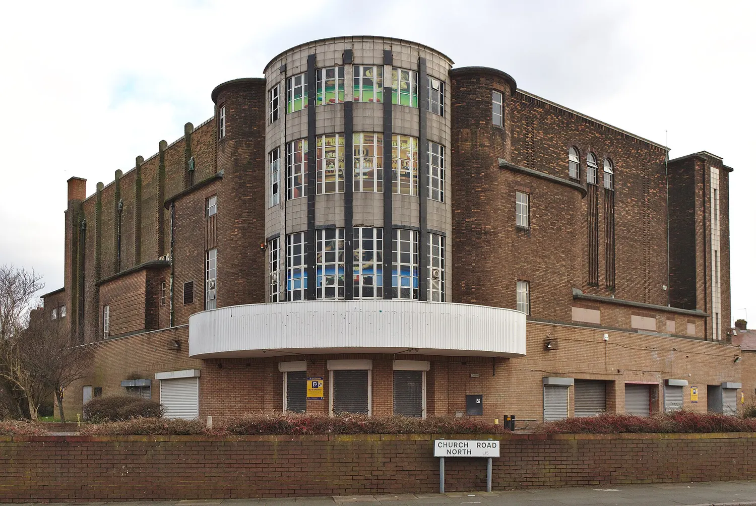
The sandstone Wavertree Lock-up was built in 1796 on what remains of the village green. It was used to hold people overnight before they could be taken before a magistrate. Nearby, the Picton Clock Tower marks the junction of Church Road North and the High Street. The former Town Hall, older pubs, cottages and shopfronts give the area a different character from the later streets around it.
Wavertree High Street is a conservation area. That designation means the council has identified its overall historic character as worthy of protection. It does not freeze the street in time or guarantee that every building is in good condition.
The Wavertree Society has campaigned since 1977 for local heritage, trees, open space and better treatment of the High Street. It normally opens the Lock-up during Heritage Open Days, one of the few opportunities to see inside.
Picton Road and the High Street
Picton Road and Wavertree High Street form one of Liverpool’s long-established routes between the centre and eastern suburbs. They carry buses, through traffic and a mixture of independent shops, convenience stores, takeaways, pubs, services and community buildings.
Wavertree Library on Picton Road remains a useful municipal service, particularly for people who need free study space or internet access. Opening days are limited and can change with staffing, so check the council’s branch library page before making a special journey.
The commercial centre has lost businesses and footfall over time, and heavy traffic makes parts of it feel more like a road through Wavertree than a high street for Wavertree. Local campaigns have repeatedly argued for safer crossings, better pavements, controlled parking and improvements that help shops as well as moving vehicles.
The Mystery and local green space
Wavertree Playground is almost universally called the Mystery. The land was given to Liverpool in 1895 by an anonymous donor who required it to be used as a playground for children and young people. The donor’s identity was not publicly known, which produced the nickname.
Unlike Sefton Park, the Mystery was intended for active recreation rather than ornamental walks. It contains open grass, athletics and sports facilities and hosts events, and sits alongside the city's other main parks. It remains one of Wavertree’s most important family and community spaces.
Smaller green areas, school grounds and sports sites are distributed across the wider district. Wavertree Garden Suburb also has a more open street pattern than the dense terraces nearer Picton Road and Smithdown.
Food, shops and local businesses
Wavertree’s business offer is spread out. The old High Street is the historic centre, Picton Road carries everyday shops and food businesses, and the Smithdown edge has a stronger café, restaurant and student economy.
Those areas should not be merged into one imaginary strip. A meal on Smithdown Road may be in or near Wavertree, but it tells you little about the shops around Picton Clock. L1Local’s separate guide to Wavertree and Smithdown places to eat is better for current venue choices.
For the area page, the more important point is that independent businesses rely on residents being able to cross the road, park briefly where appropriate and use the street comfortably. Road investment should be judged partly by whether it helps that ordinary local economy.
Getting around Wavertree
Wavertree is served by buses and rail, but its stations sit in different parts of a large district.
Wavertree Technology Park station is on the City Line and is useful for the eastern side and employment sites around Wavertree Boulevard. Edge Hill station can be more convenient for western Picton Road. Neither is a central “Wavertree Village” station, and both can leave a substantial walk depending on the address.
Bus services use Picton Road, High Street, Smithdown Road, Woolton Road and Queens Drive. Use the Merseytravel journey planner for the exact stop rather than selecting a station solely because its name contains Wavertree.
Drivers should expect pressure on Picton Road, High Street, Queens Drive and the Rocket junction at busy times. Residential parking conditions vary sharply between terraced streets, student areas and the more suburban eastern side.
The 2026 High Street works
More than £2 million of improvement work began on Wavertree High Street and Picton Road on 6 July 2026. Liverpool City Council says the scheme runs between the Picton Clock Tower roundabout and Spofforth Road and includes carriageway resurfacing, drainage, pedestrian crossings and accessibility work.
The council originally described a programme lasting around 26 weeks. That means disruption is likely through much of the second half of 2026. Temporary traffic management can affect bus times, deliveries and passing trade, so businesses and residents should check current updates rather than relying on the original schedule.
The scheme may improve safety and the physical condition of the route, but resurfacing alone will not settle the longer argument about the High Street. Residents and traders will judge it on whether the finished street becomes easier to cross, walk along and use, not only whether vehicles move over a newer surface.
Housing and student pressure
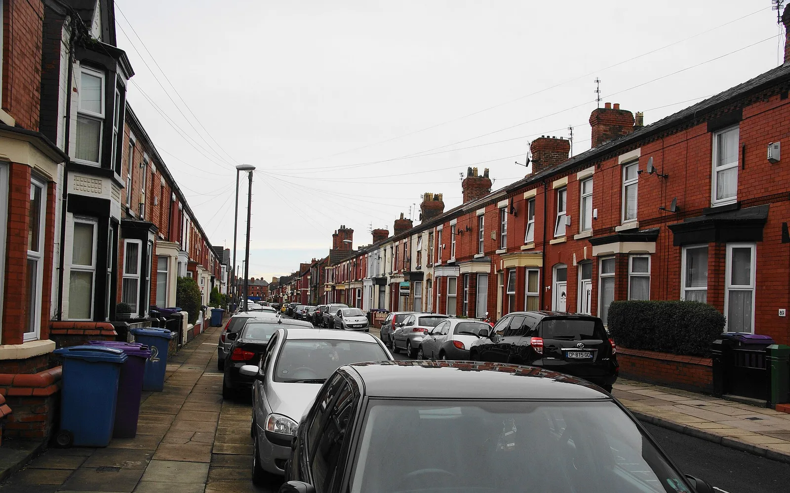
Wavertree contains long-established family streets alongside a large private rented sector. Close to Smithdown and university routes, houses in multiple occupation are a particular issue. A house in multiple occupation, usually shortened to HMO, is a property rented by several people who are not one household and who share facilities.
Students support shops, cafés and landlords, but concentrated short-term renting can also bring bin problems, noise, parking pressure and poorly maintained homes. Those tensions should not be written as a simple conflict between students and permanent residents. Property standards, landlord behaviour, enforcement and the supply of suitable housing are all part of it.
Nearby areas
Edge Hill and Kensington lie towards the centre. Old Swan and Broadgreen sit to the north and east. Childwall, Mossley Hill, Penny Lane and Smithdown meet Wavertree across its southern side. The boundaries blur, especially along long roads and postcode lines.